The locations of the following photos have been identified. To view the photo, click on the number designator at the left of the photo description.
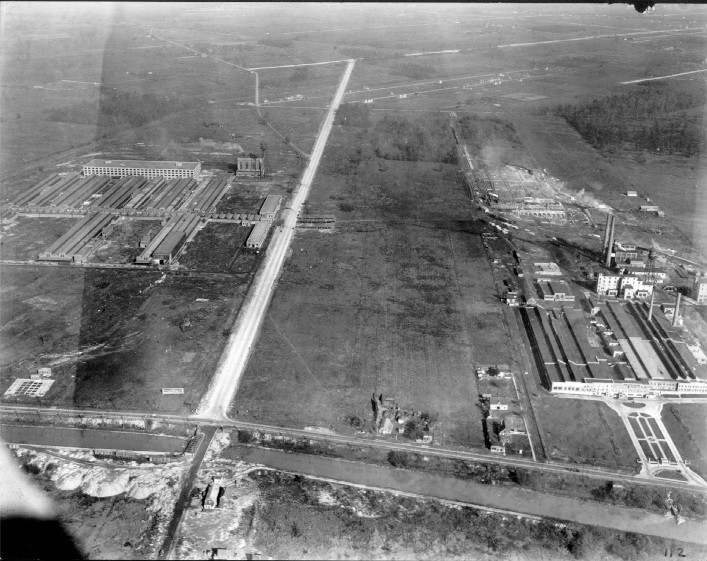
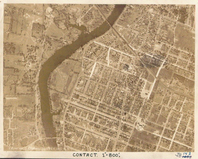
# 001 - Intersection of Sheridan Drive & River Road looking East with Dunlop to the North of Sheridan, Dupont plant site to the South and Old Erie Canal in foreground
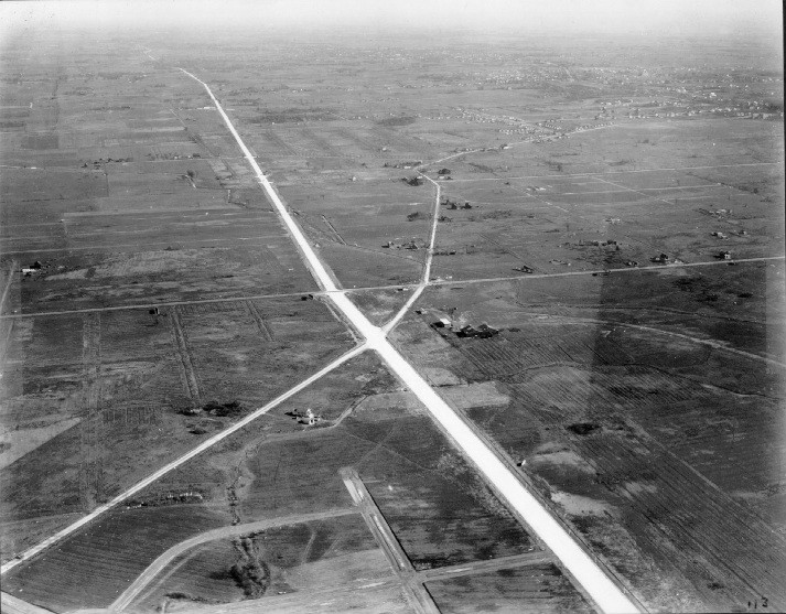
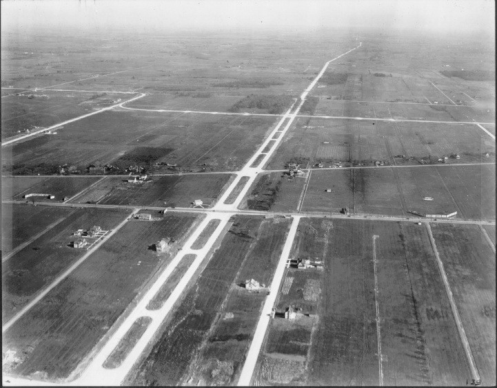
# 002 - Intersection of Sheridan Drive, Eggert Road & Niagara Falls Blvd looking East
# 003 - Intersection of Sheridan Drive & Colvin Blvd looking East
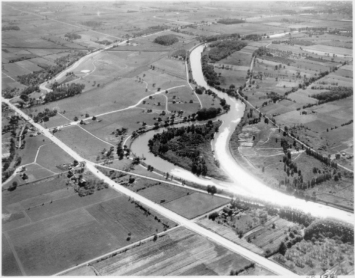
# 004 - Niagara Falls Blvd. at Three Mile Island on Tonawanda Creek looking Southwest with Ellicott Creek to the South
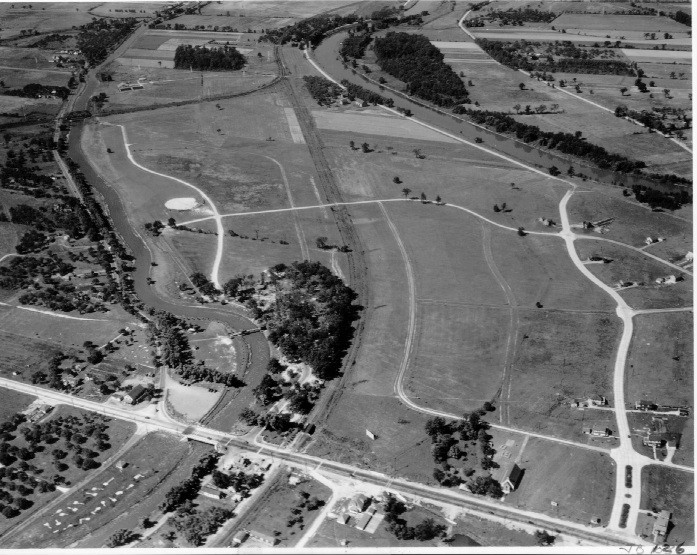
# 005 - Niagara Falls Blvd. between Ellicott & Tonawanda Creeks looking Northeast
# 006 - Niagara Falls Blvd. just North of Ellicott Creek looking Southwest
# 007 - Sheridan Drive at Delaware Avenue & Delaware Road looking East with Colvin Blvd in background
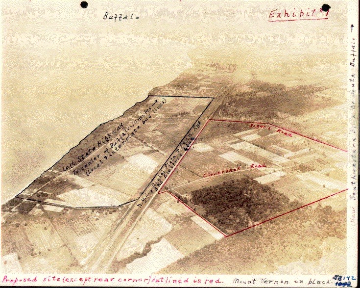
# 008 - Annotated photo of Mt. Vernon-on-the-Lake prior to development looking North
# 009 - Niagara Falls Blvd. at Three Mile Island on Tonawanda Creek looking Southwest with Ellicott Creek to the South & Niagara River in background to the West
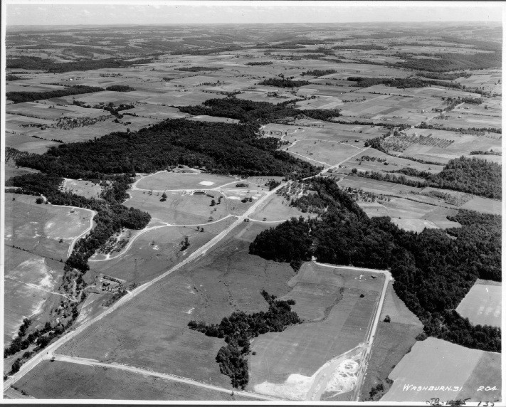
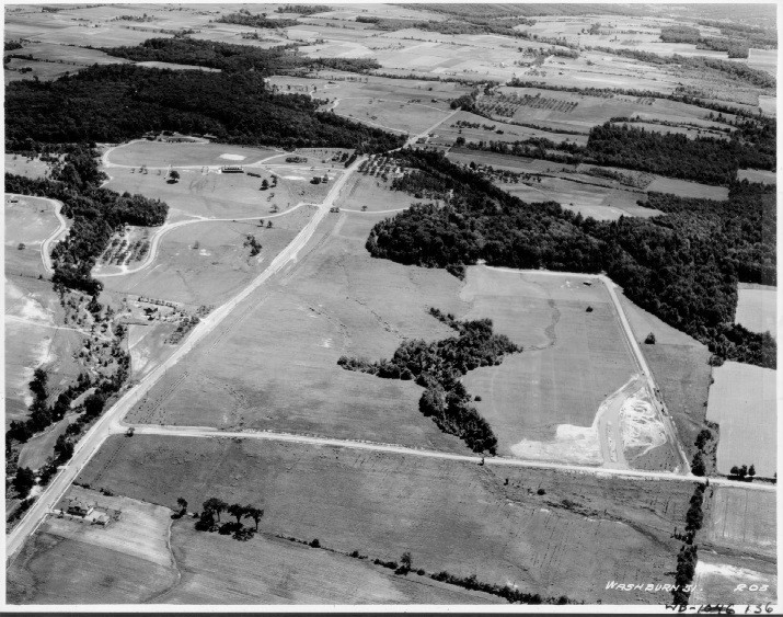
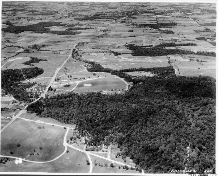
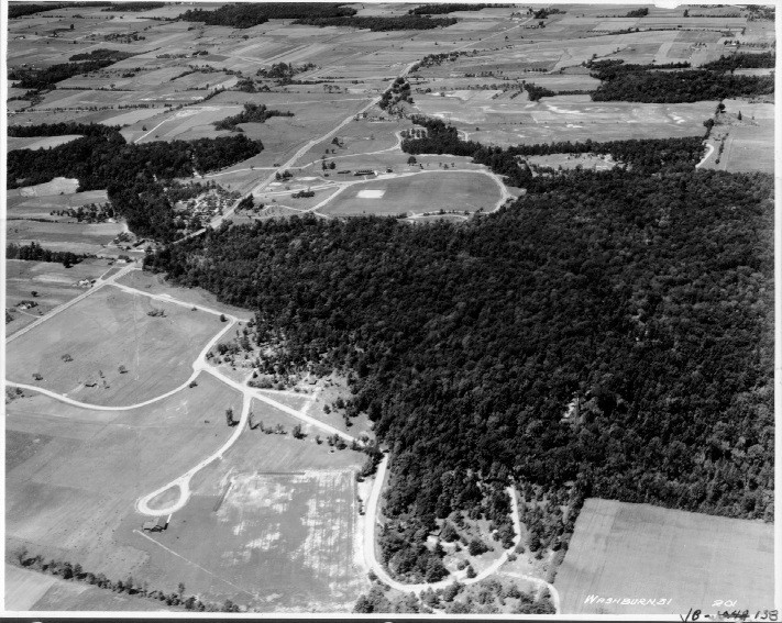
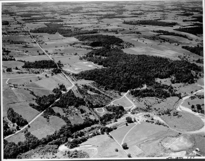
The following seven photos have been identified as Chestnut Ridge Park.
# 010 - Chestnut Ridge Park/photo #1 - Looking North along Route 277
# 011 - Chestnut Ridge Park/photo #2
# 012 - Chestnut Ridge Park/photo #3
# 013 - Chestnut Ridge Park/photo #4
# 014 - Chestnut Ridge Park/photo #5 - Looking SSE along Route 277
# 015 - Chestnut Ridge Park/photo #6
# 016 - Chestnut Ridge Park/photo #7
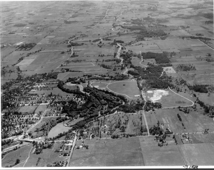
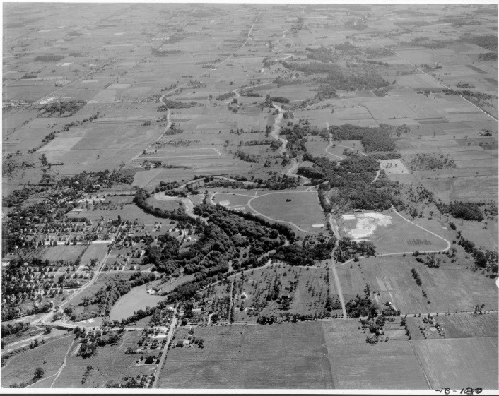
The next three photos are of what seems to be the Como Park area of Lancaster. Photo #2 looks east. The road in the foreground is Lake Avenue. The roads running perpendicular to Lake Avenue from left to right (north to south) are Como Park Blvd., Sherborne Ave. and Quincy Ave., respectively.
# 017 - Como Park in Lancaster/photo #1
# 018 - Como Park in Lancaster/photo #2
# 019 - Como Park in Lancaster/photo #3
The next two photos appear to be Emery Park. The first photo is looking northwest from about Route 16. Emery Road is the main road that runs from lower left to upper middle. If you look to the right of where it bends you will notice the hill on which the ski slopes were built and just below is the area where the ski lodge now sits. Photo #2 appears to be the Emery Park area in South Wales. The view looks south and the straight road through the center of the photo is Emery Road.
# 020 - Emery Park - Looking northwest from about Route 16; Emery Road is the main road that runs from lower left to upper middle. If you look to the right of where it bends you will notice the hill on which the ski slopes were built and just below is the area where the ski lodge now sits.
# 021 - Emery Park - Appears to be the Emery Park area in South Wales. The view looks south and the straight road through the center of the photo is Emery Road.
The remaining photos may not even be of any place in Erie County. They are included here because they were part of the set. Why they might have been included in the set remains a mystery! Again, if either of these locations is known to you, please inform us.
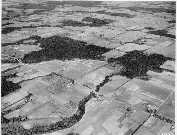
# 022 - Location #4 - Aerial taken at greater altitude than rest of set
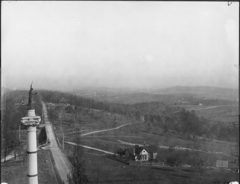
# 023 - Appears to be the Civil War Monument in Chattanooga, Tennessee, site of the Battle of Missionary Ridge, a battle in the American Civil War, fought on November 25, 1863. The Illinois State Monument was designed by artist Asbjornsen - Sigvald, in 1898-1899.